0.7 mi
103 ft
Difficult
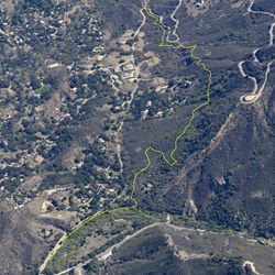
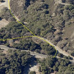
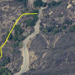
The Piuma Connector Trail is a short trail which connects the Mesa Peak Motorway to the Piuma Ridge Trail. The Piuma Ridge Trail follows Piuma Road, just below and to the north of Piuma Ridge, and connects to other segments of the Backbone Trail on either end, Saddle Peak Trail to the east and Mesa Peak Motorway to the west. The tree cover provides a cooler trail experience on warm days. Look for great rock outcropping along the route.
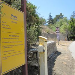
Piuma Ridge Trail can be accessed via the Piuma Connector Trail from the main parking area at Tapia County Park, located approximately 3 miles south of Malibu Creek State Park on the west side of Las Virgenes Rd. Piuma Connector Trail follows the creek under the bridge to meet up the trail on the east side of Las Virgenes Rd.
ALLOWED USES:
- Hiking
- Horseback Riding