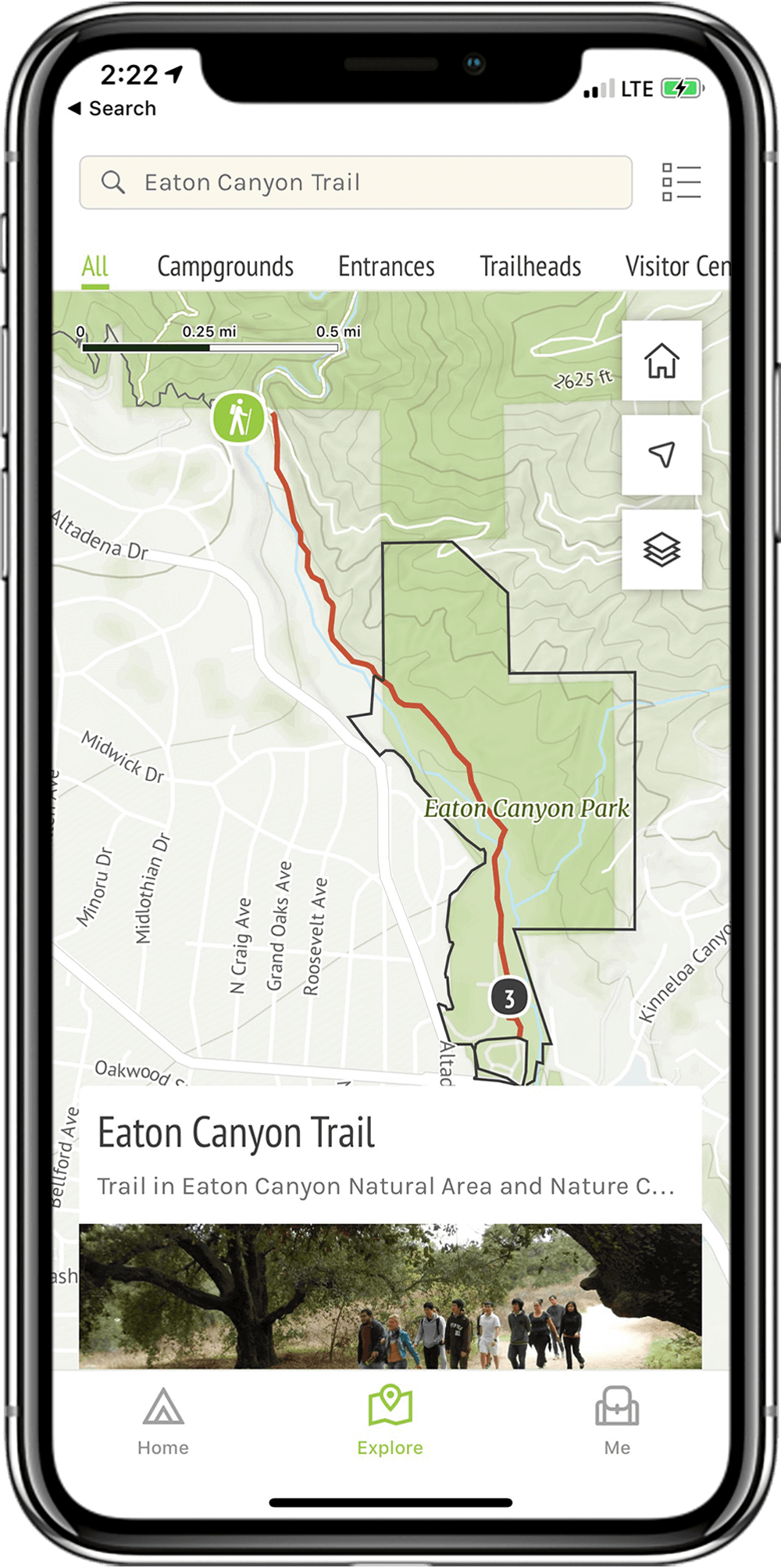
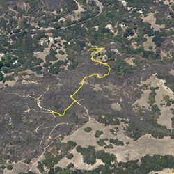
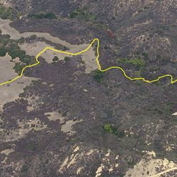
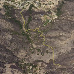
LENGTH
1.7 mi
ELEVATION GAIN
200 ft
DIFFICULTY
Difficult
TAGS:
This trail is part of a loop route connecting Topanga Community House, Musch, Eagle Rock Fire Road and Cheney Trails.
From the PCH head inland on Topanga Canyon Blvd. Travel approximately 6.5 miles until the sign for Topanga Community House. Turn right into the parking area. Trail users can access Topanga Community House Trail via the path to the right of the access route and parking lot at Topanga Community House.
TRAIL INFORMATION
ALLOWED USES:
- Hiking
- Horseback Riding